Pacific Valley Bluff Trail

The most scenic short coastal trail in our estimation, and one you won’t want to miss even if you only have time for a few stops along the highway.
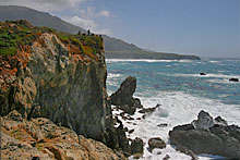
The Pacific Valley Bluff Trail is a simple flat path that crosses a large grass field to some breathtaking rocky cliffs high above the ocean.
Hike Facts
• Length: .7 mile
• Type: Out & Back
• Difficulty: Easy
• Path: level, good
• Elev. Gain: 50 feet
• Parking Fee: No
• Restrooms: No

Pacific Valley Bluff Trail Map

The Hike

After parking, look for the wooden steps that go up and over the fence on the ocean side of Highway 1. You’ll then head straight west towards the coast through a grass field that blossoms with wildflowers in the spring.
Keep heading west until you see a fence where you’ll thread yourself through an opening designed to let humans in but keep cattle out. Yes, there are cattle here sometimes as the numerous cow patties will attest.

After going through the fence, to your right is a short path to a cliff top overlook with a great view to the north along the coast. Head back to the main trail and then southwest to follow the path along the cliffs.
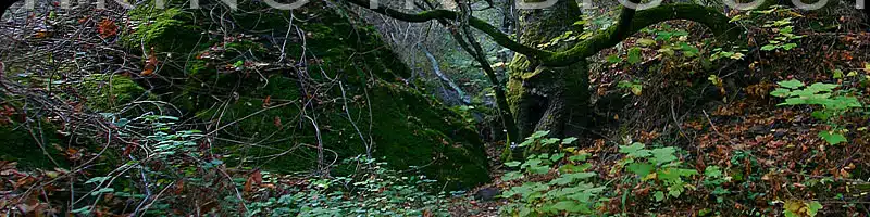
One thing you’ll notice about bluff trails compared to hikes up into the canyons, is the unique and very different plant and animal life. The Pacific Valley Bluff Trail is a great path for viewing a wide variety of coastal plants such as coyote bush, lizard tail, sedum, sea lettuce, and sage. Plants cling improbably to rocks and in sandy areas and there are few trees—rarely is anything taller than three or four feet.

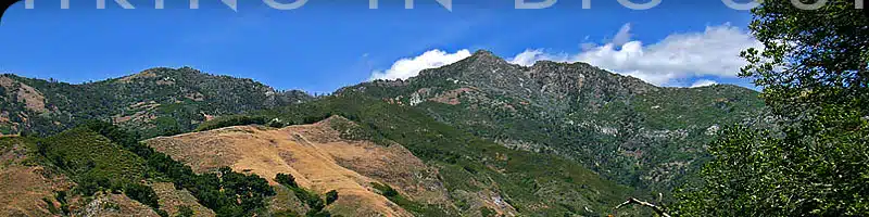
What also makes this setting spectacular are the large boulders jutting out here and there on the otherwise flat landscape, set against the beautiful Santa Lucia mountains to the east.
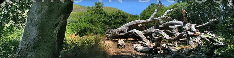
After wandering south along the coastal path, you’ll eventually come to a small dune where the path disappears into the sand. It does continue on the other side, but can be overgrown with poison oak, so we usually turn around here or settle in to watch the birds.

Alternate Exploring
While the main trail is pretty obvious, it peters out once you hit the sand. There is a trail that continues south on the other side of the small dune, but you’ll quickly encounter quite a bit of poison oak—so approach with caution.
If you decide to keep going, the trail continues south along the bluff and eventually winds back up towards the highway. But as mentioned, and depending on the time of year, the poison oak and lack of trail maintenance makes this a trail for die-hards with long pants.
Also while you are here, consider heading south a bit and pulling off at Sand Dollar Beach and/or Jade Cove, which combined with the Pacific Valley Bluff Trail can make for a great day of bluff and beach.
Getting There
The Pacific Valley Bluff Trail starts across from the Pacific Valley Ranger Station next to the large sign on the west side of the road that says “Pacific Valley Station, Los Padres National Forest”. The actual trail starts at the wooden steps just a few feet north of the sign (pictured at right).
You can park along the west side of Highway 1. The pullout is just 4.6 miles north of Gorda, or 31.1 miles north of the Hearst Castle turnoff.
Travelling south on Highway 1, the pullout is 8.4 miles south of Lucia or 32.5 miles south of the entrance to Pfeiffer Big Sur State Park.